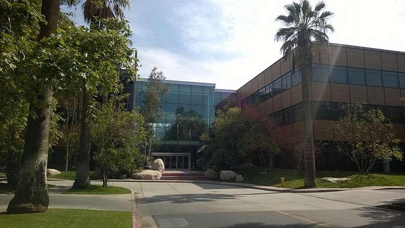
Acoustic Imaging Receives Advanced Training at ESRI Headquarters, Redlands, CA, USA

As part of Acoustic Imaging’s support for GIS projects, Hydrographic Specialist Aaron Godwin travelled to the ESRI head office in Redlands, California to receive advanced training on the ArcGIS for Maritime: Bathymetry (A4MB) solution.
The ESRI Arc for Maritime initiative centres around 2 extensions for Arc Desktop: Bathymetry and Charting.
The Bathymetry extension provides database tools for managing hydrographic survey data. It incorporates a visual search engine with fully customisable metadata fields for searching and querying historical survey data. It uses advanced data mosaicking techniques to compile raster depth surfaces from the stored survey data based on user queries. Individual survey data are stored efficiently in Bathymetric Attributed Grid (BAG) file format to minimise hard disk space, and then managed through a database that captures key metadata related to all aspects of the survey (the Bathymetric Information System or BIS) . The Bathymetry extension is suitable for Hydrographic survey companies, Port Authorities, and Government agencies that deal with high volumes of hydrographic survey data.
The Charting extension is a full data management suite for producing industry standard nautical charts in both digital and paper formats. The Charting extension is primarily focused towards National charting agencies or companies wishing to produce marine navigation charts.
The ESRI bathymetry solution integrates seamlessly with the QINSY and Fledermaus software packages forming the modern hydrographic workflow. Acoustic Imaging can provide guidance and training on the set up of the BIS (including core metadata), management of survey data, and optimisation of any survey workflow.
For more information please contact info@acousticimaging.com
Back to News list
