Register to stay up to date with Acoustic Imaging
Acoustic Imaging Projects
Acoustic Imaging consulting services range from system sourcing to system installations to data processing and delivery. We help clients achieve their survey objectives.
Our unique blend of hydrographic and geophysical experience, coupled with software expertise is invaluable for troubleshooting problems during the equipment mobilisation stage and allows organisations to view their data in an integrated fashion during the survey stage. Groups that contract Acoustic Imaging know that diligent and highly knowledgeable personnel will be deployed on-site and that post-survey support will be available until the final data products are delivered.
Oil and Gas, Habitat Mapping, Coastal Surveys, National Mapping Programs……..Acoustic Imaging has the experience and understanding to provide unbiased and accurate advice how to achieve your goals.
Projects and Ongoing Research

Acoustic Imaging is Expanding into a New Facility!
Acoustic Imaging is expanding into a new facility from where we can better support your hydrographic, geophysical and pilotage needs! We are pleased to announce our move into a brand new warehouse in Eagle Farm Business Park of Pinkenba, QLD (9/300 Lavarack Ave). This...

Australian AML Oceanographic Calibration Centre Opens
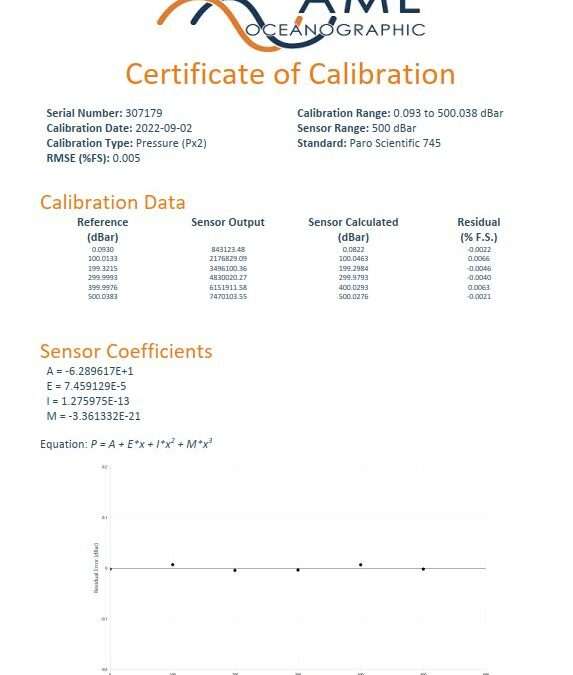
SEPT 2022 - Acoustic Imaging, in collaboration with AML Oceanographic, has established an Australian-based Calibration Centre for AML oceanographic sensors, in Brisbane, QLD. Managing Director Douglas Bergersen states "One of the reasons we went down the path of...

2020: Acoustic Imaging – Optimising Swath Mapping Performance
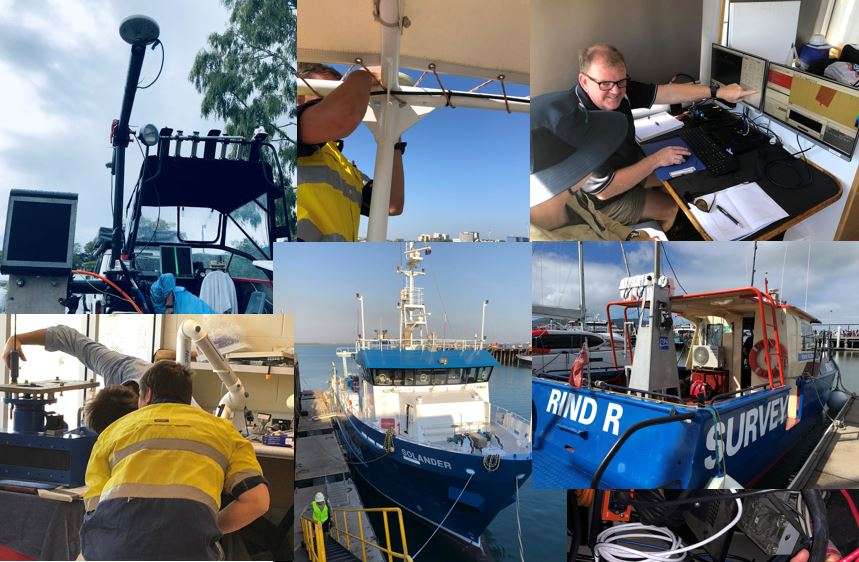
Jan 2020 – Acoustic Imaging and Manufacturer Independent Optimisation of Swath Mapping Systems Less of a 'new project' and better described as a 'lifelong learning and evolution'; Acoustic Imaging has been addressing the in-shore, near-shore and off-shore...

Edgetech 6205 Multiphase Echosounder Demonstration: Fremantle, Jan 2017
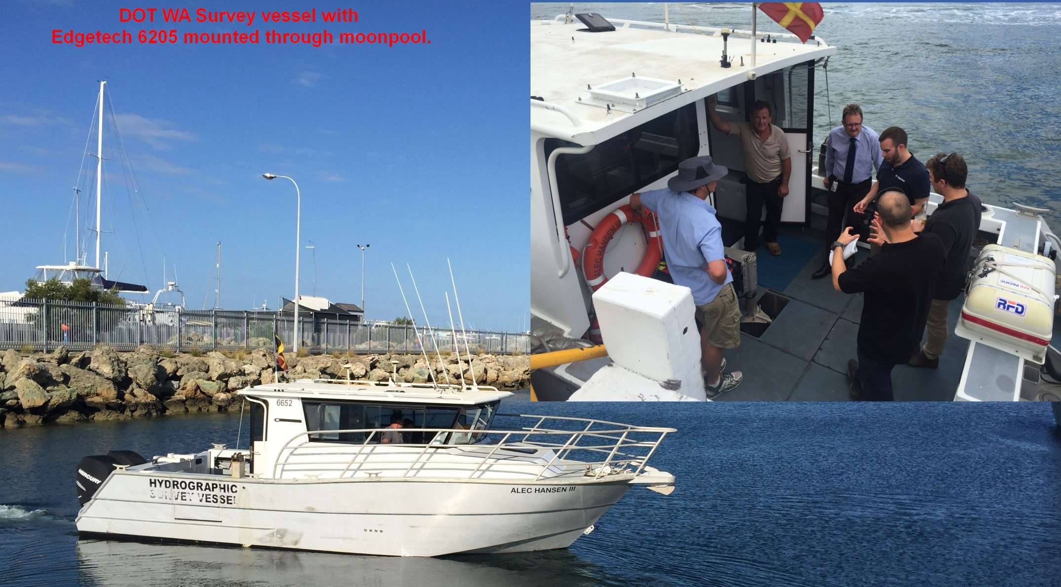
Swath mapping in shallow water is a challenging prospect, and generally involves a dual head multibeam echosounder (MBES) system if bathymetry is required whilst retaining survey efficiency. In 2014 Acoustic Imaging purchased a dual head R2Sonic 2020 system to address...

Acoustic Imaging RAN LADS Training August 2016
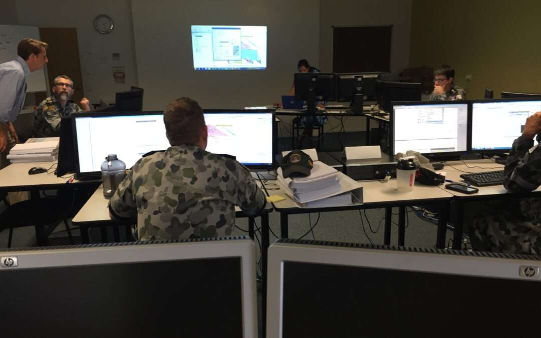
Between August 1-4, 2016 Acoustic Imaging provided a training course to the RAN LADS group covering various Fledermaus and ArcGIS operations associated with their Lidar workflow. This course was in support of the Fugro LADS system used by the RAN, and is an annual...
Project List
- 2020: Acoustic Imaging – Optimising Swath Mapping Performance
- 3rd Annual Brisbane High Accuracy Multibeam Training Course November 17-21 2014, Port of Brisbane Queensland
- Acoustic Imaging is Expanding into a New Facility!
- Acoustic Imaging RAN LADS Training August 2016
- Acoustic Imaging Wide Swath Shallow Water Multibeam Echo Sounder
- Australian AML Oceanographic Calibration Centre Opens
- Australian Army Reserve Practical Course run by Acoustic Imaging
- Edgetech 6205 Multiphase Echosounder Demonstration: Fremantle, Jan 2017
- Innomar SES-2000 System – Port of Melbourne
- Mapping Weed Wrack Accumulation in Jurien Bay
- Multi-Sensor River Surveys for Bridge Maintenence North Queensland, Australia June 2016
- Y10 Work Experience Student

