Register to stay up to date with Acoustic Imaging
Acoustic Imaging Support
Support for projects occurs in many forms, including consulting on what equipment to buy, how to approach a data processing objective, assistance during offshore operations, training on software and general technical advice if a problem arises.
Acoustic Imaging, in collaboration with our US-, Canadian-, German- and Holland-based manufacturers, is ideally positioned to provide all forms of support both on-site and remotely.
Our on-site support consists of experienced geophysicists and surveyors trained on the latest hardware and software in our product range. All personnel possess current offshore medical and TBOSITA certificates, and can participate in the system mobilisation through to survey operations.
Remote support is based around TeamViewer, a software application that allows us to view or control a client computer linked over the internet. Troubleshooting a system setup or providing on-the-spot instructions on how to achieve a task or generate a data product is made simple with TeamViewer.
Other Support services include:
- Certified training on QINSy, Fledermaus, POS MV, POSPac MMS, SonarWiz, and SES-2000 products
- System installation and mobilisation
- Processing for all forms of hydrographic and geophysical data
- Interpretation services for bathymetry, backscatter, water column, and subbottom profiler data
- Technical report writing and data visualisation services
Contact Support
For the Teamviewer executable download here:
 TeamViewer (4432 KB)
Please forward your support issues to info@acousticimaging.com We welcome your questions.

QPS Releases Qimera 2.7.4 and Qinsy 9.7.7
Qimera Qinsy Releases May 2025 QPS Releases Qimera 2.7.4 and Qinsy 9.7.7 NOTE License Manager - Activate Softlock Issue QPS' License provider LimeLM needs to have all Network Adapters enabled when trying to activate a softlock license. In some situations, the dialog...
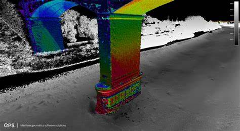
QPS Releases Fledermaus 8.7.1
Release Date February 21, 2025 4D analysis toolbox, with movie-making tools and integrated video. The gold standard for presentation and communication. Fledermaus 8.7.1 Improvements: Fledermaus 8.7.1 now has: Improved shading on features Added option to create a color...

QPS Releases Qimera 2.7.3 and Qinsy 9.7.6
Qimera Qinsy Releases March 2025 QPS Releases Qimera 2.7.3 and Qinsy 9.7.6 Highlights of Qinsy 9.7.6 Along with some bug fixes there are two driver changes: Qinsy dependency on .NET runtime 6.0 & ASP.NET Core 6.0As of version 9.7.6, Qinsy is no longer dependent on...

QPS Releases Qimera 2.7.2
QPS Releases Qimera 2.7.2 Release Date February 14, 2025 Highlights of Qimera 2.7.2: Added the option to apply the filter when in filter preview mode in the slice editor. Just use the Run Filter Profile button to apply the filter. When saving a vessel configuration,...
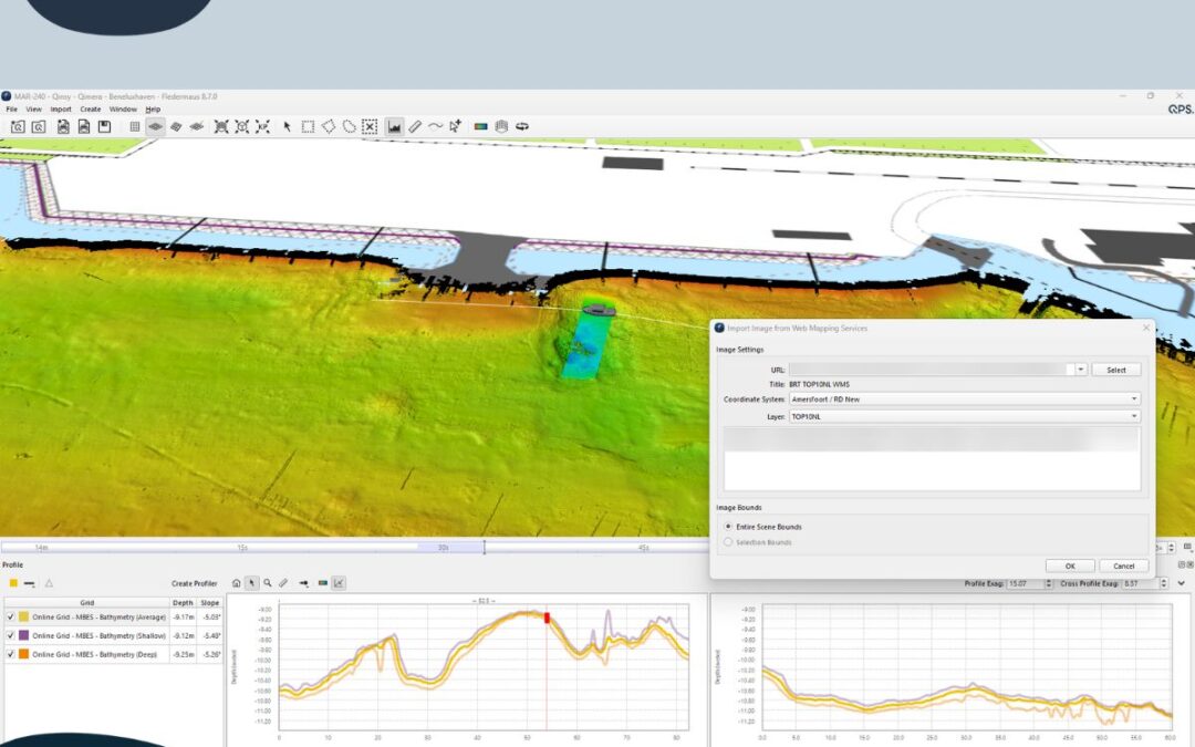
QPS releases Fledermaus 8.7.0
QPS releases Fledermaus 8.7.0 on Windows, Mac and Linux operating systems. There are new functionalities including EOMAP integration for satellite-derived bathymetry. Fledermaus 8.7.0 highlights include - EOMAP, connect to the EOMAP service that provides satellite...
Qinsy 9.7.2 and Qimera 2.7.0 Released!
OCTOBER 2024 - UPDATE 1 Qinsy 9.7.2 released 2/10/2024! QPS has improved the NMEA Position and Heading UDP driver (with Checksum). Release notes can be found here: Qinsy 9.7.2 Release UPDATE 2 Qimera 2.7.0 Released 4/10/2024! In this release, QPS introduce colormap...
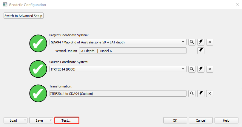
Qinsy 9 Support for Custom Geoids / Hydroids
DEC 2020. QPS releases tool for migrating custom Geoids/Hydroids to Qinsy 9. With the Qinsy 9.3.0 release (December 2020) QPS offer a tool to migrate custom geoid and hydroid models for use in generating final data products at relevant Chart Datums. The reason this is...

Supporting the Indigenous Literacy Foundation in 2020
Acoustic Imaging employees have chosen the Indigenous Literacy Foundation (ILS) as our charity of choice again in 2020. Being able to read opens so many doors. But in very remote Indigenous communities, books are all too scarce and literacy levels are so much lower...
Satellite Based Augmentation System for Australia 2017
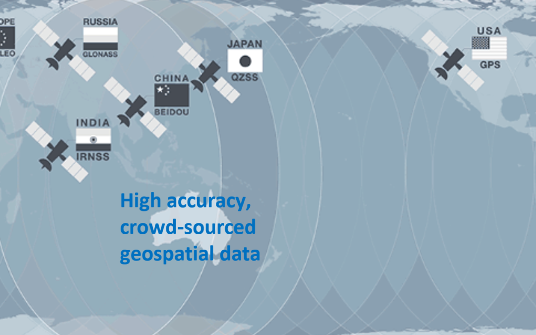
Australia's own Satellite-Based Augmentation System (SBAS) has been launched and is hosted by the Inmarsat 41F satellite at 143.5 degrees east. Our SBAS uses tracking stations across Australia to located existing GNSS infrastructre in space (GPS,...

Acoustic Imaging MBES Performance and Functionality Testing
Acoustic Imaging provides a unique and complete Multibeam Performance Testing service covering : Desktop Study (sonar acoustic equations, use case, environment)Node Survey (measure systematic bias)InstallationCalibration / Validation (remove systematic and human...

